|
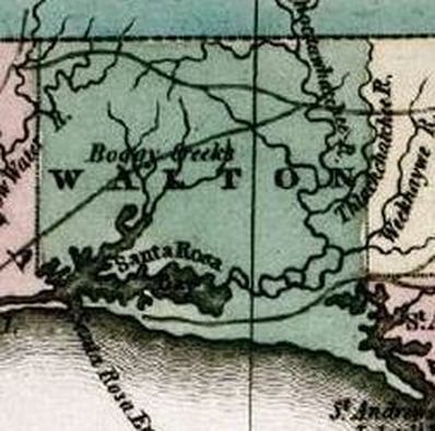
Above - 1824 Walton County is established from Escambia County
|
Walton County was created on December 29th, 1824 from Escambia and Jackson Counties. It was named for Colonel George Walton, Secretary of the Florida territory from 1821 to 1826 during the territorial governorship of Andrew Jackson. Walton was the son of George Walton, Governor of Georgia and signer of the Declaration of Independence. Alaqua is named the first County Seat of Local Government.
Washington County was titled from within the bordered lands of Walton and Jackson Counties in 1825. Holmes County was titled from within the bordered lands of Walton and Jackson Counties in 1848, after Florida had become a State. Okaloosa County (A native word meaning "a pleasant place," "black water", or "beautiful place") was titled from within the bordered lands of Walton and Santa Rosa Counties in 1915. |
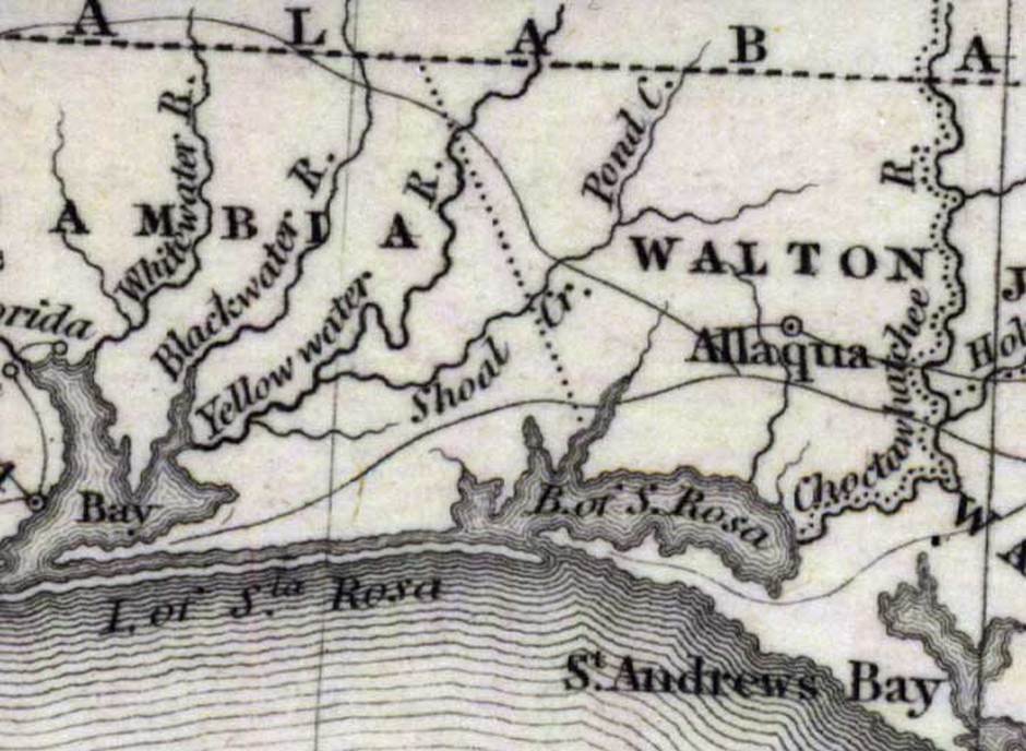
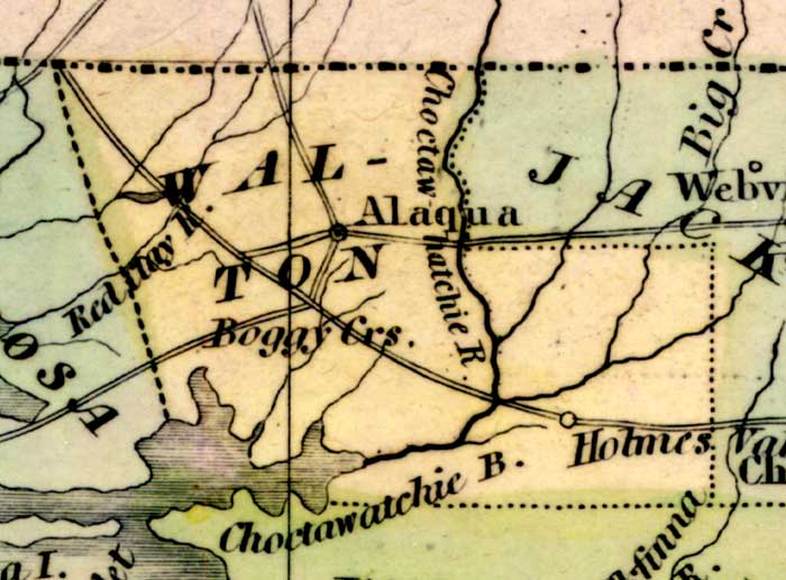
Above - Map Source: Fenner Sears and Co., engraver & printer, The History and Topography of the United States (London, : Hinton, I. T. Simpkin, Marshall and Co., 1832)
Map Credit: Courtesy of the Special Collections Department, University of South Florida.
Map Credit: Courtesy of the Special Collections Department, University of South Florida.
|
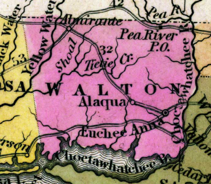
Above - Map Source: Henry Schenck Tanner, Tanner's Universal Atlas (Philadelphia, PA: Carey & Hart, 1839) 21
Map Credit: Courtesy the private collection of Roy Winkelman |
Above - 1842, Green Leaf Map
Map Credit: Courtesy of the Special Collections Department, University of South Florida. Digitization provided by the USF Libraries Digitization Center. |
|
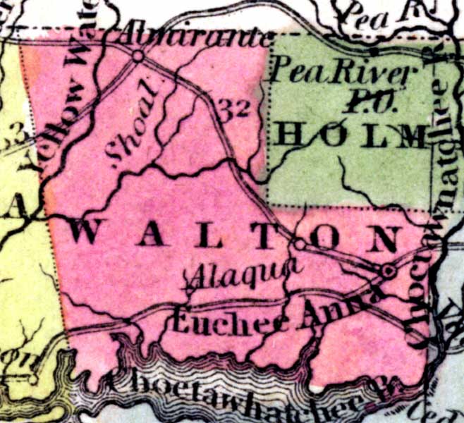
Above - Walton County as shown on Sidney E. Morse's 1845 A System of Geography for the Use of Schools. Of interest, this map is the first school atlas to make use of the cerographic process, also created by Morse. This process allowed an original of the map to be drawn as a positive, unlike earlier ways of creating maps, which required the original to be a negative image of the map. It had significant impact on map making and became a widely used process.
Map Credit: Courtesy of the private collection of Roy Winkelman. |
Above - 1850, Map of Florida, published by Thomas, Cowperthwait & Co.
A portion of Walton County is now Holmes County Map Credit: Courtesy of the Special Collections Department, University of South Florida. Digitization provided by the USF Libraries Digitization Center. |
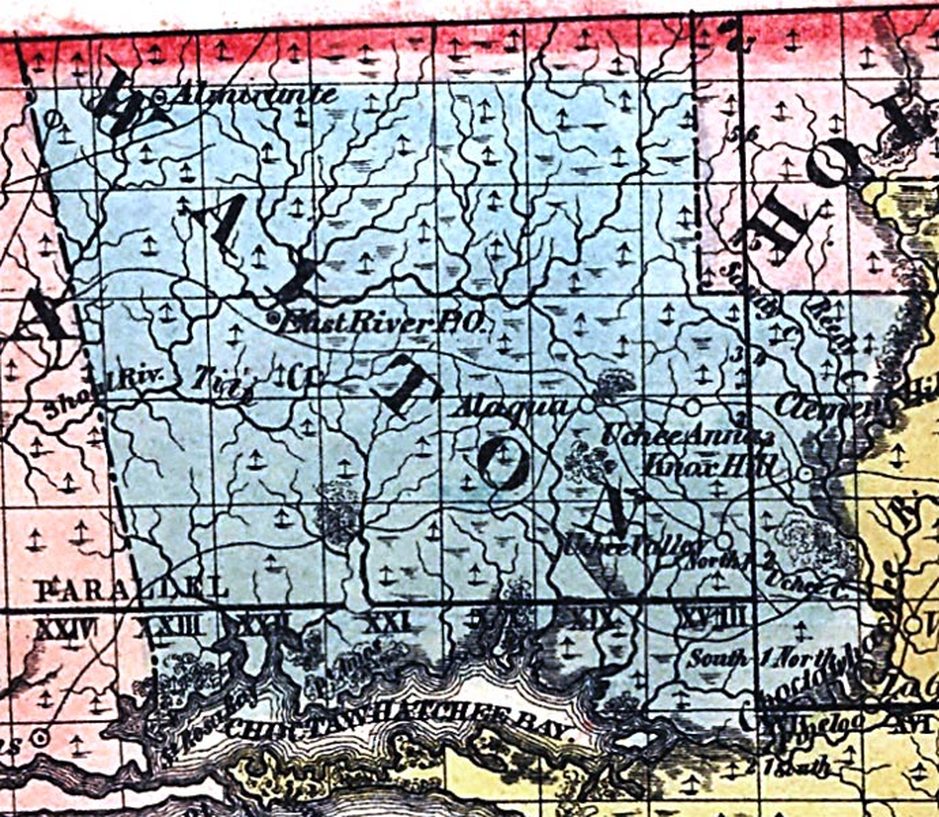
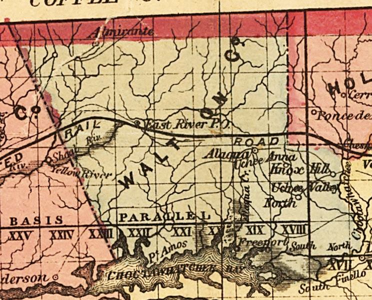
Above - 1856, Surveyor Map from 1856.
All TRS grids and the Tallahassee Baseline are shown on the map
Map Credit: Courtesy of the private collection of Roy Winkelman.
All TRS grids and the Tallahassee Baseline are shown on the map
Map Credit: Courtesy of the private collection of Roy Winkelman.
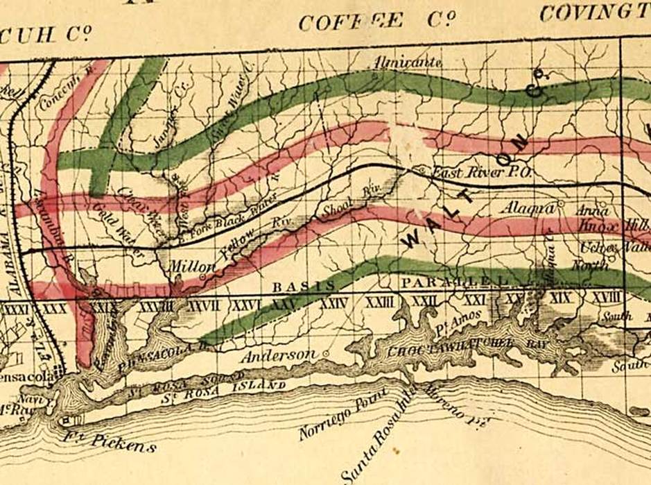
Above - Walton County as shown on a 1859 Surveyor General map. This map was created to accompany the annual report of the Surveyor General. It is a township map showing drainage, cities and towns, railroads, location of the land grant railroads and indicates the 6- and 15-mile limits of grants.
Map Credit: Courtesy of the Library of Congress, Geography and Map Division.
Map Credit: Courtesy of the Library of Congress, Geography and Map Division.
|
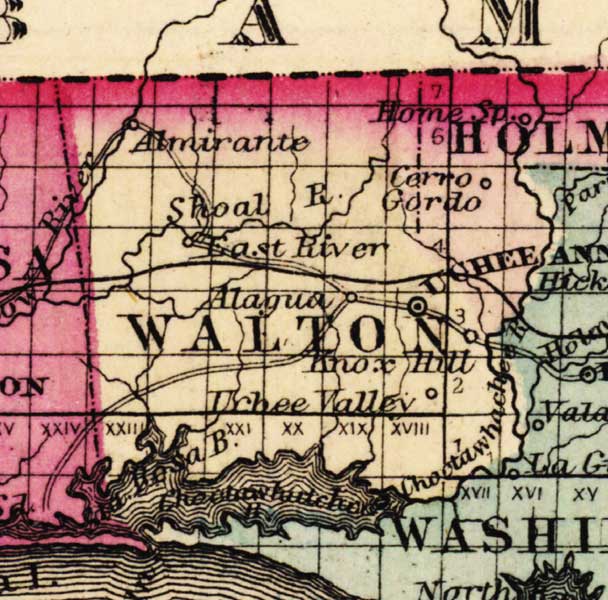
Above - 1863, Map of Florida that was, "Entered according to Act of Congress in the year 1863 by A. J. Johnson in the clerks office of the District Court of the United States for the Southern District of New York."
The document was created during the Civil War Era Map Credit: Courtesy of the Special Collections Department, University of South Florida. Digitization provided by the USF Libraries Digitization Center. |
Above - 1874, Drew's New Map of the State of Florida, published by Columbus Drew, Jacksonville
This is the last map found the identifies the location of Alaqua, which was the original county seat until a fire destroyed the building and public records about 1844-45. The new county seat was moved to Eucheeanna in 1845. Map Credit: Courtesy of the Library of Congress, Geography and Map Division. |
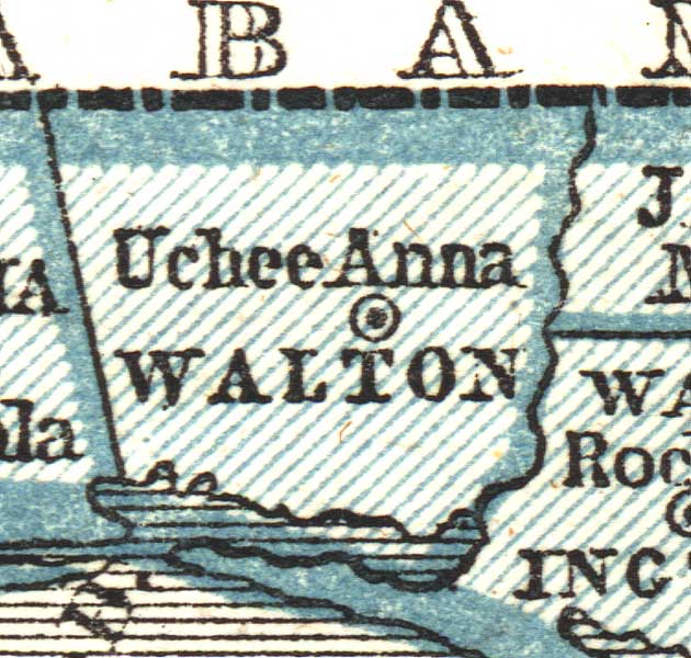
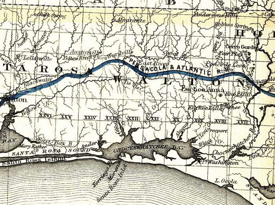
Above - Walton County as shown on a 1882 G.W. & C. B. Colton and Company map showing the Florida Transit and Peninsula Rail Road and its connections. The solid blue line indicates the railroad line.
Map Credit: Courtesy of the Library of Congress, Geography and Map Division.
Map Credit: Courtesy of the Library of Congress, Geography and Map Division.
|
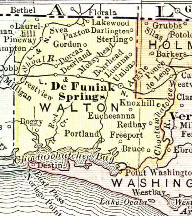
Above - 1911, Rand, McNally & Company map
Map Credit: Courtesy of the private collection of Roy Winkelman. |
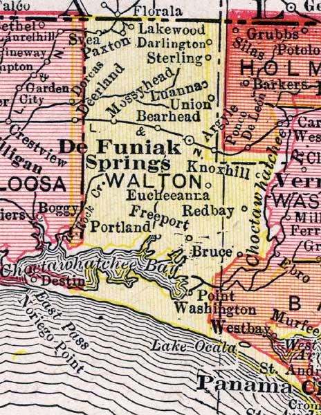
Above - 1917, Rand, McNally & Company map
New Boundary of Walton County is shown. Okaloosa County was formed from a portion of Walton County in 1915. Map Credit: Courtesy of the private collection of Roy Winkelman. |
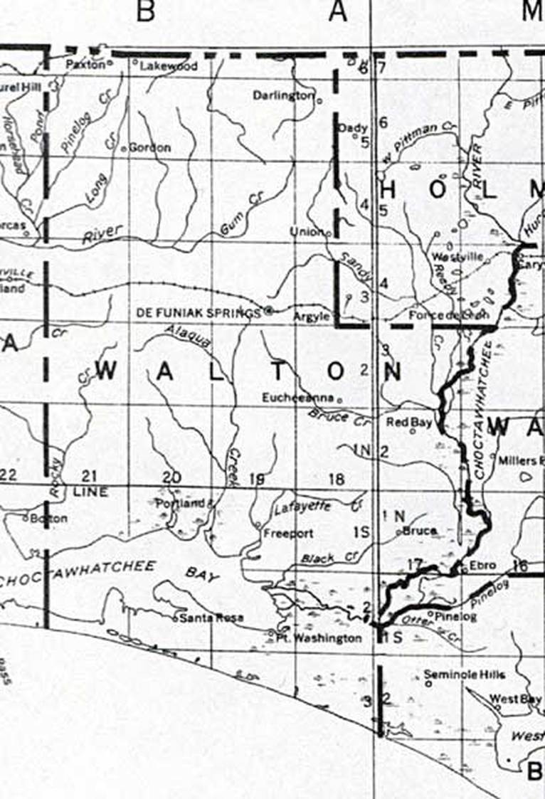
Above - 1932, United States Geological Survey.
Map Credit: Courtesy of the Library of Congress, Geography and Map Division.
Map Credit: Courtesy of the Library of Congress, Geography and Map Division.
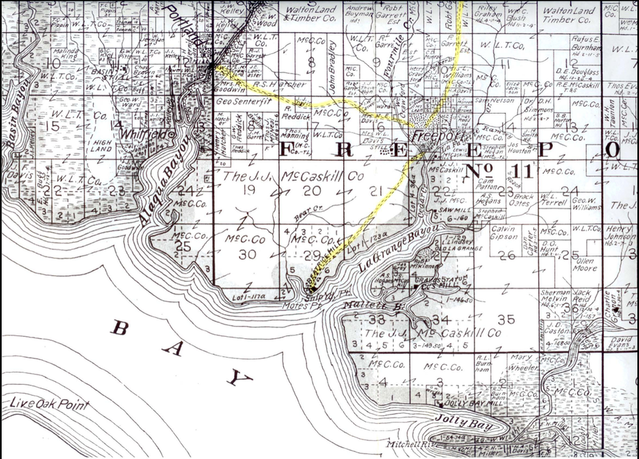
Maps from the Archives of the Baker Block Museum
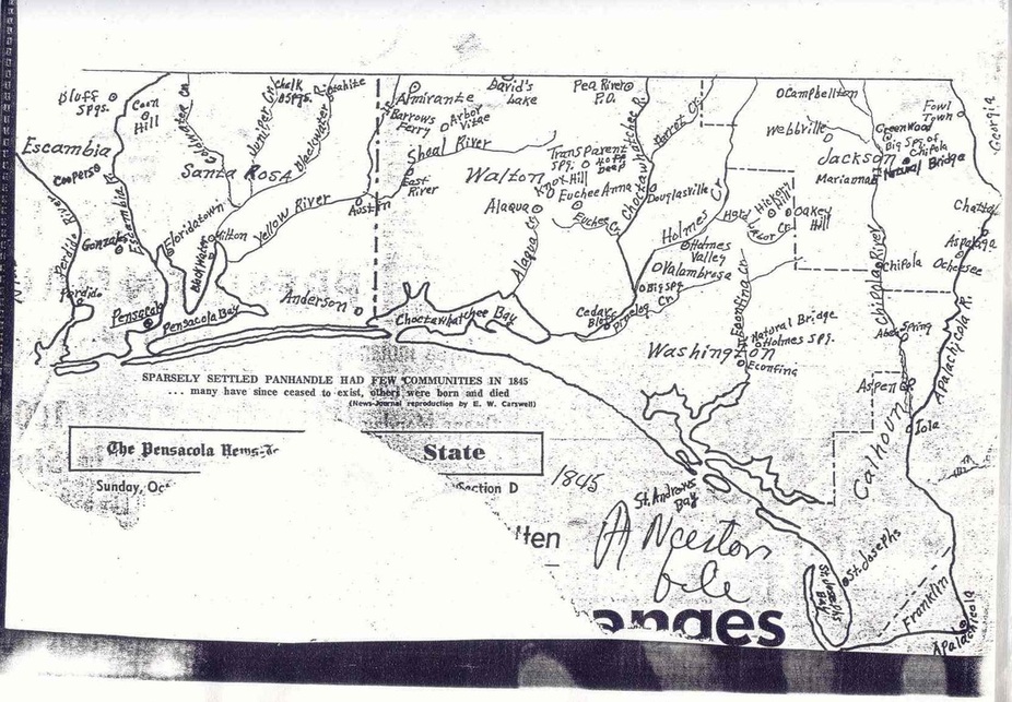
Above - West Florida 1845
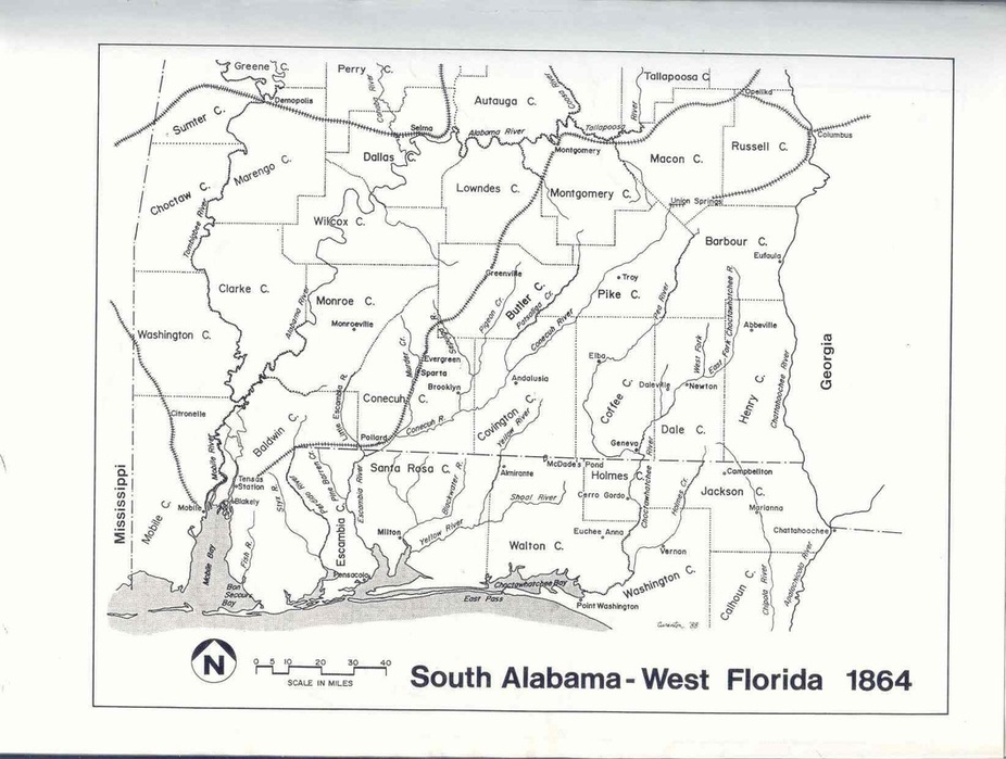

This is the legend from “The Farm Map of Walton County”, published in 1908 by E. Frank Peterson of De Funiak Springs, recovered from the Library of Congress
