Section 27 - the NE corner
The NE Corner of Section 27- east of Four Mile Creek Govt. Lot 1
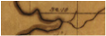
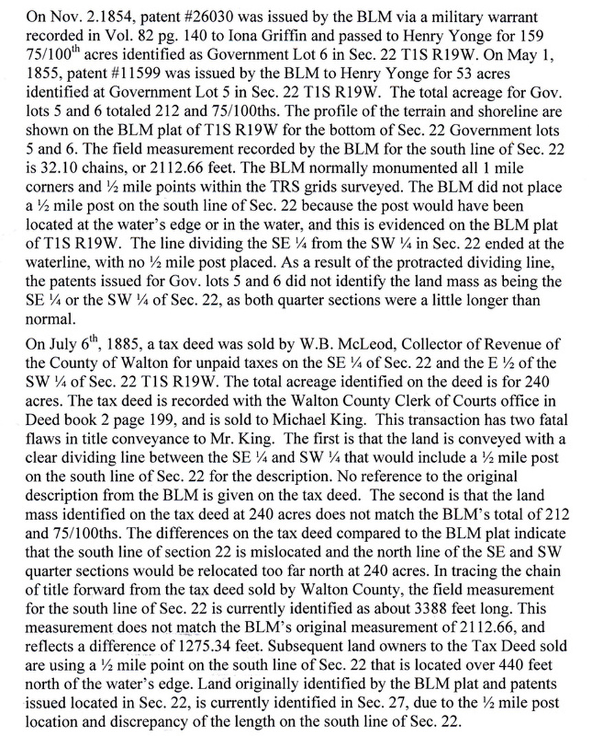
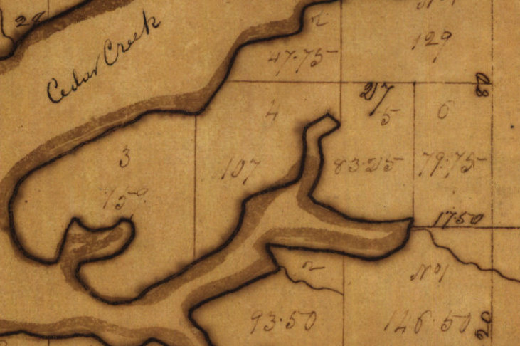
The field measurement recorded by the BLM for the north line of Sec.27 is 32.l0 chains, or 2112.66 feet. The BLM did not place a ½ mile post on the north line of the section, since the line ended at the water’s edge at 2112.66 feet, which is 527.34 short of the ½ mile location. At this time, land originally identified by the BLM plat and patents issued located in Sec. 22, is currently identified in Sec. 27
Needs to be finshed and indexed for Section 27
OR bk 16 pg 302 1972 Madden to Godwin Begin 2415’ n of the se c of Lot 1, run w 198’, n to the n line of lot 1, e 198’ to ne/c of said lot, s to the POB
OR bk 2680 pg 2150 2005 Godwin to Watson Land – Parcel 1: Begin 2415’ n of the se c of Lot 1, run w 198’, n to the n line of lot 1, e 198’ to ne/c of said lot, s to the POB
Parcel 2: Begin at an iron pin 3 chains (198’) w of the ne corner of Lot 1, sec 27, then w 420, then s 420, then e 420, then n 420 to the POB
Back to the Mojo Report
The top measurement of Lot 1, Section 27 according to a BLM supplemental plat filed in 1961. This measurement is 32.10 chains or 2112.66 feet from section corner to waters edge